Onancock to North Landing River - 2016
--Blogpost written by Bob
Onancock to Mobjack Bay
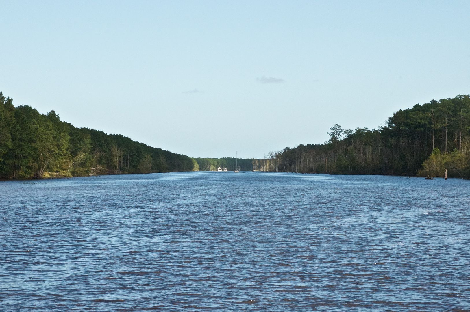
After a couple days of rest and relaxation in Onancock (one of our favorite places along the bay), we topped off our fuel and water tanks and resumed our southward trek. We left Onancock Wharf at 10 AM, a little later than we anticipated. We warmed up the last two slices of our Quiche Lorraine in the oven as we motored out Onancock Creek to the Chesapeake Bay.
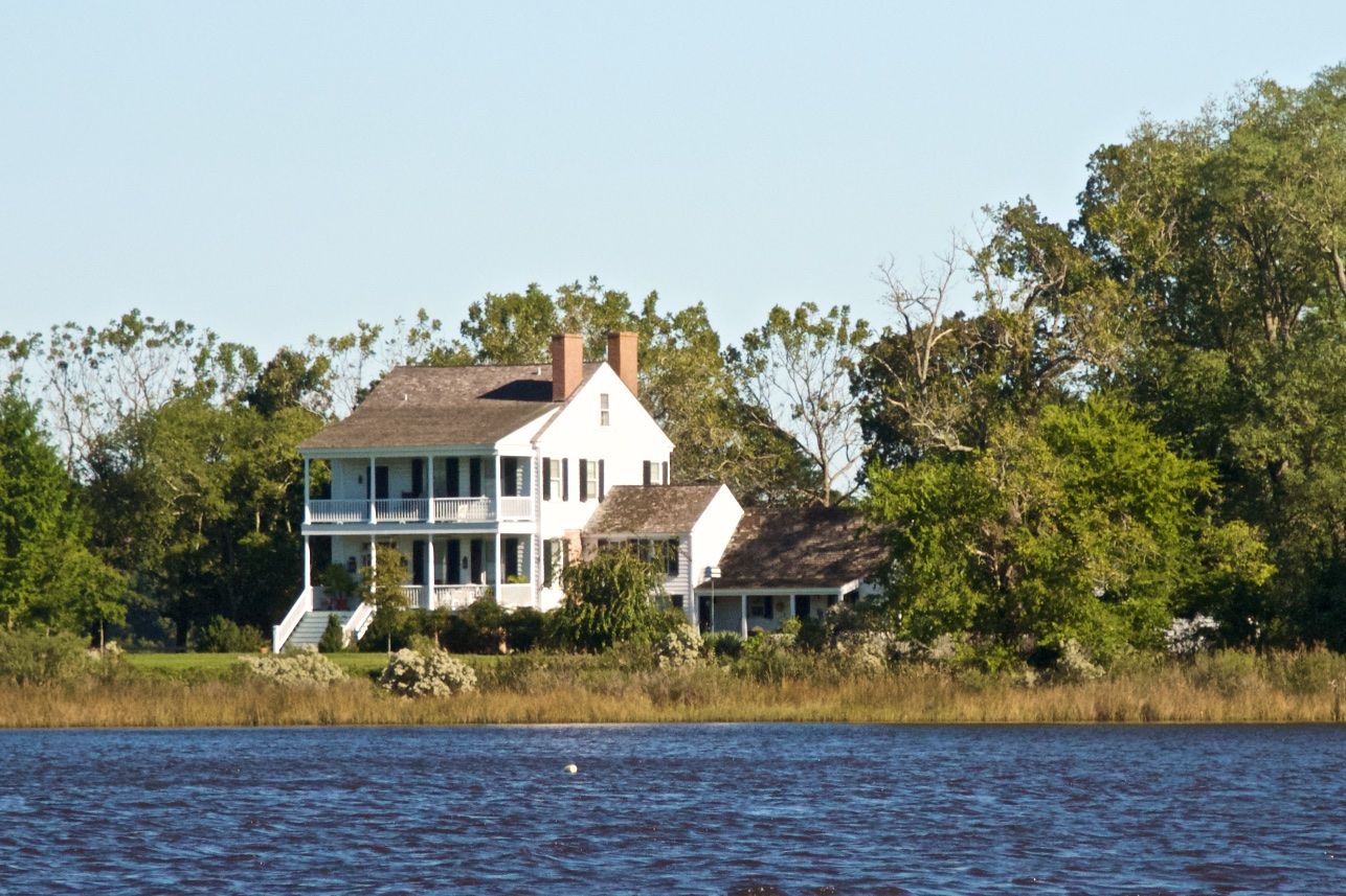 |
| This is just one of the many beautiful old homes along Onancock Creek. |
We had four issues that developed during this leg of the trip:
(1) The pin in the shackle at the tack of the headsail came out and was lost overboard (This was repaired when we anchored for the day by putting a stainless steel bolt where the pin was previously.)
(2) Our galley faucet got turned on accidentally and drained all the water out of our forward tank into the sink which in turn drained into the Bay. (This means an extra stop will be needed to fill our forward water tank, the largest of the three tanks. We decided to turn off our fresh water pump while underway from here foreword.
(3) Items shifted around in our fridge during the rough day and a whipped cream container discharged its contents inside of the fridge. (Some cleanup after we anchored solved this problem but this will negatively impact on the quality of our hot chocolate and KAHLUA drinks later this week.)
(4) The chart plotter sent a message at one point "lost AIS signal." (The cable from the AIS receiver probably jostled loose from the unit during all the mayhem below. I'll have to look into this when we get to Elizabeth City, NC.)
By 5 PM we were safely anchored in the lee of the peninsula to the north and on the west side of New Point Comfort Light with the long sand bar providing shelter from the large waves on the Bay.
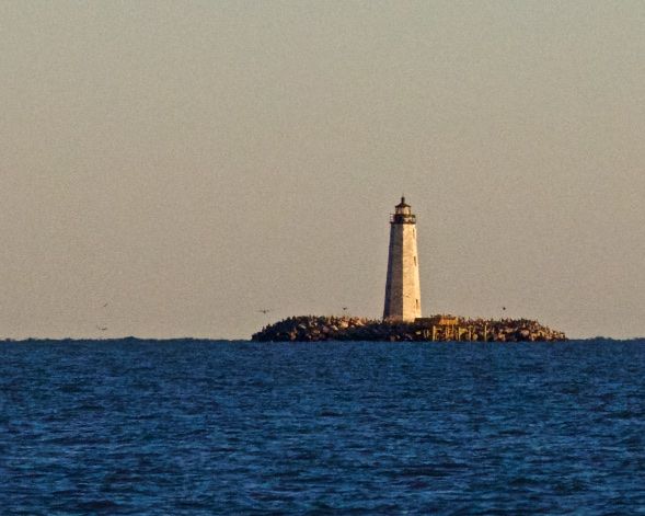 |
| New Point Comfort Lighthouse is abandoned. It is a beautiful structure shown here as the sun goes down for the day. |
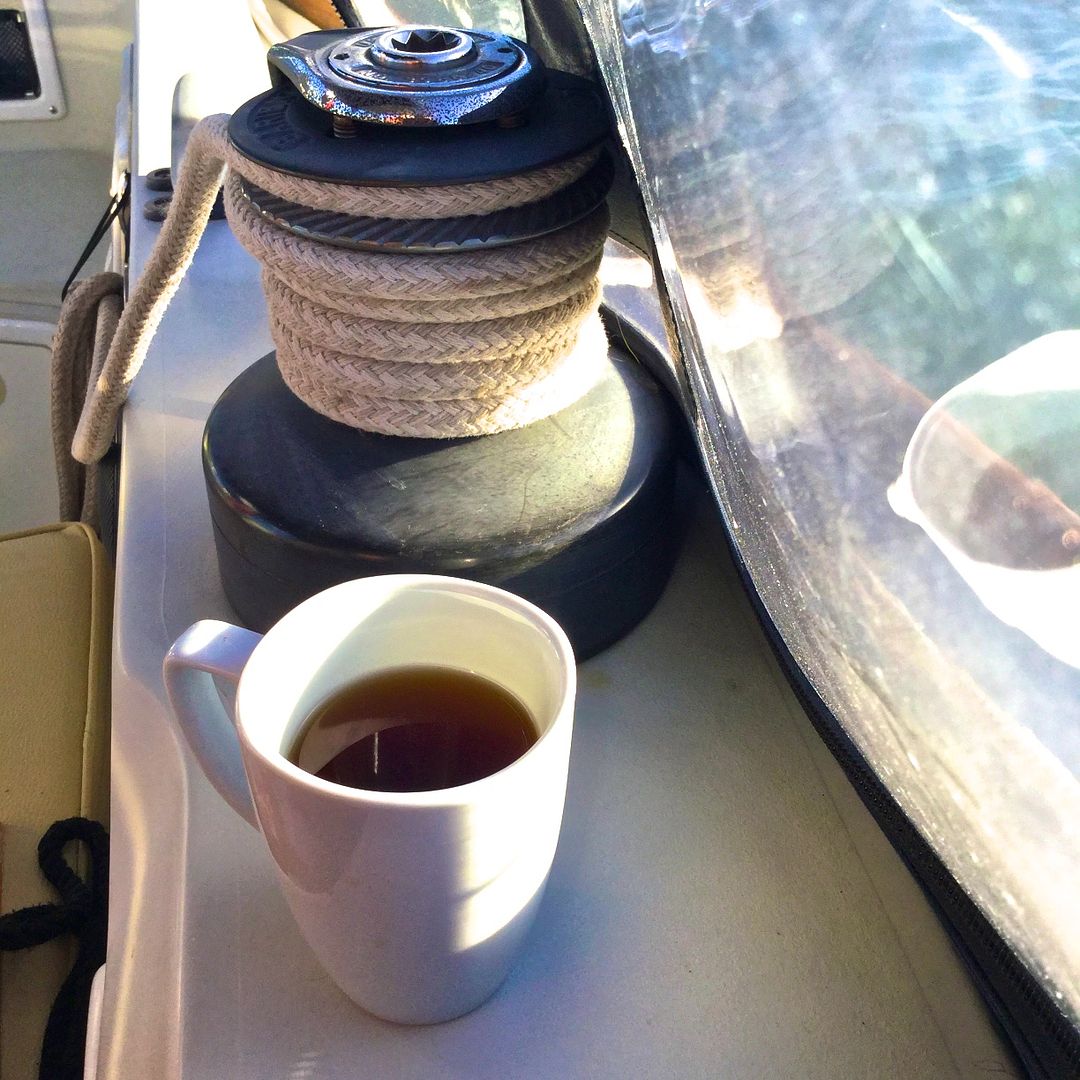 |
| Since I have to watch my sugar intake, one of my favorite hot cocktails is heated ALPINE (sugar-free) cider with a shot of Fireball cinnamon whiskey. Just had to have one after a long hard day of sailing in the cool wind! |
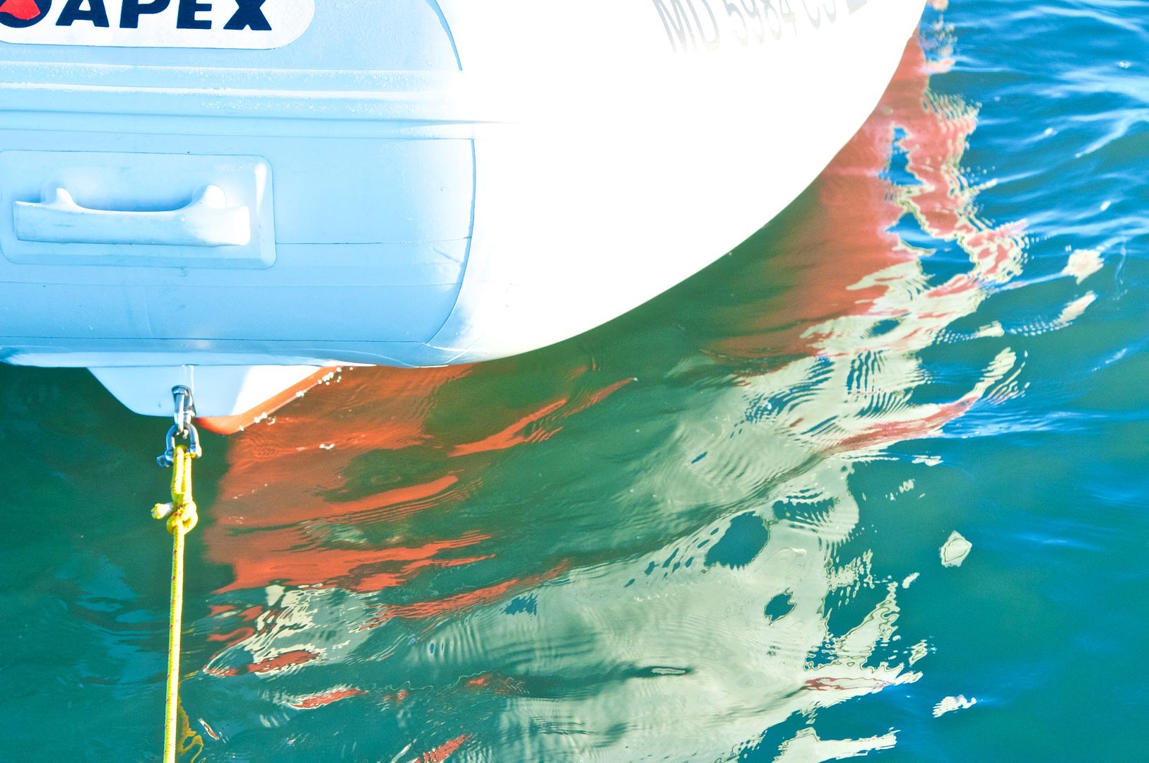 |
| As the sun was setting, the red bottom paint on our dinghy was being reflected off the water. |
Mobjack Bay to Willoughby Bay
This leg of the trip was only 20 miles--we left at 8:30 AM and were grilling hotdogs while safely anchored at lunchtime. We motored the entire leg since the wind was very light out of the north.
There was a lot of NAVY traffic as we got close to the Hampton Roads Tunnel. Two submarines were being escorted out to sea by a NAVY patrol boat. The NAVY patrol boat was warning all mariners to keep a 500-yard distance from the submarines. By the time we got to the tunnel all the NAVY traffic had cleared out.
We had one little mishap entering the channel for Willoughby Bay--we went aground. We bounced around a little and were able to motor off within about 10 or 15 minutes. When I looked back at our track on the chart plotter, I could see where I wandered outside the channel a bit. It is clear that you have to stay close to the red day mark and allow a wide berth to the green marks. I'll have to be more careful when we leave tomorrow morning.
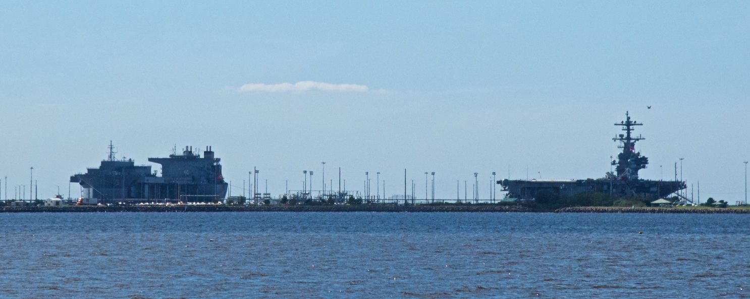 |
| Two NAVY ships are in port and visible from our anchorage in Willoughby Bay. |
 |
| Anchored in Willoughby Bay, Willoughby Spit is just to our north. This afternoon was a sunny and warm 70 degrees! |
Willoughby Bay is an interesting location. A long time ago when I was developing shipyard business for my company, I brought my boat to Willoughby Marina and used it as an office during the week. The peninsula of land where the Willoughby Marina is located is called Willoughby Spit--it was formed by a hurricane in 1667. Willoughby Spit is kind of a "seedy" area with rundown homes and bars. It would be a great setting for a mystery novel.
We spent the warm 70-degree afternoon, catching up on various tasks and reading up on the ICW trek ahead of us. I pulled the speed transducer out and cleaned it--now we will have good "thru the water" speed readings.
Willoughby Bay to North Landing River
We pulled up anchor (using our new windlass, of course) at 8:30 AM. Today was Maggie's introduction to the ICW and my re-introduction after 24 years. (I traveled the ICW on my trip to the Bahamas in the fall of 1991 and the spring of 1992. The port of Norfolk has greatly increased its containerized cargo handling in the past 24 years!)
Being much more careful leaving Willoughby Bay at 8:30 AM, we did not go aground this time. We motored some 9 miles or so out of Willoughby Bay and into the Elizabeth River, past the berthed NAVY ships to the beginning of the ICW in Norfolk.
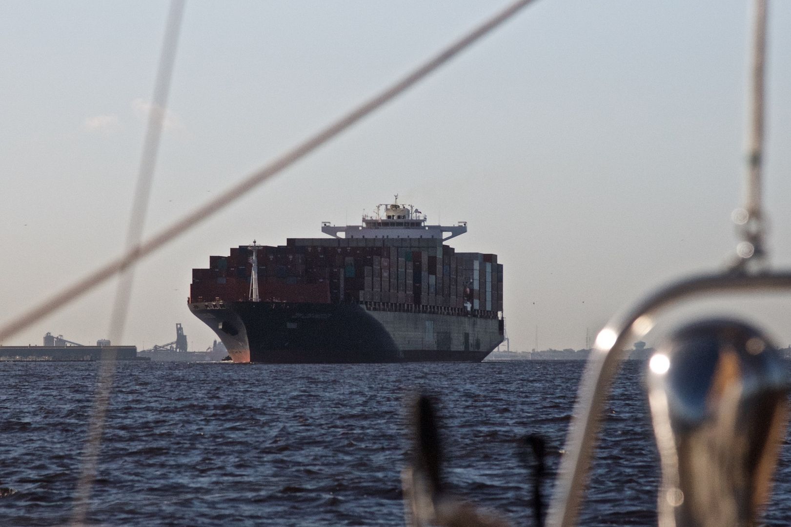 |
| An outbound containerized cargo ship coming out of the Elizabeth River. There were many new ports along the Elizabeth River that loaded and unloaded containerized cargo. |
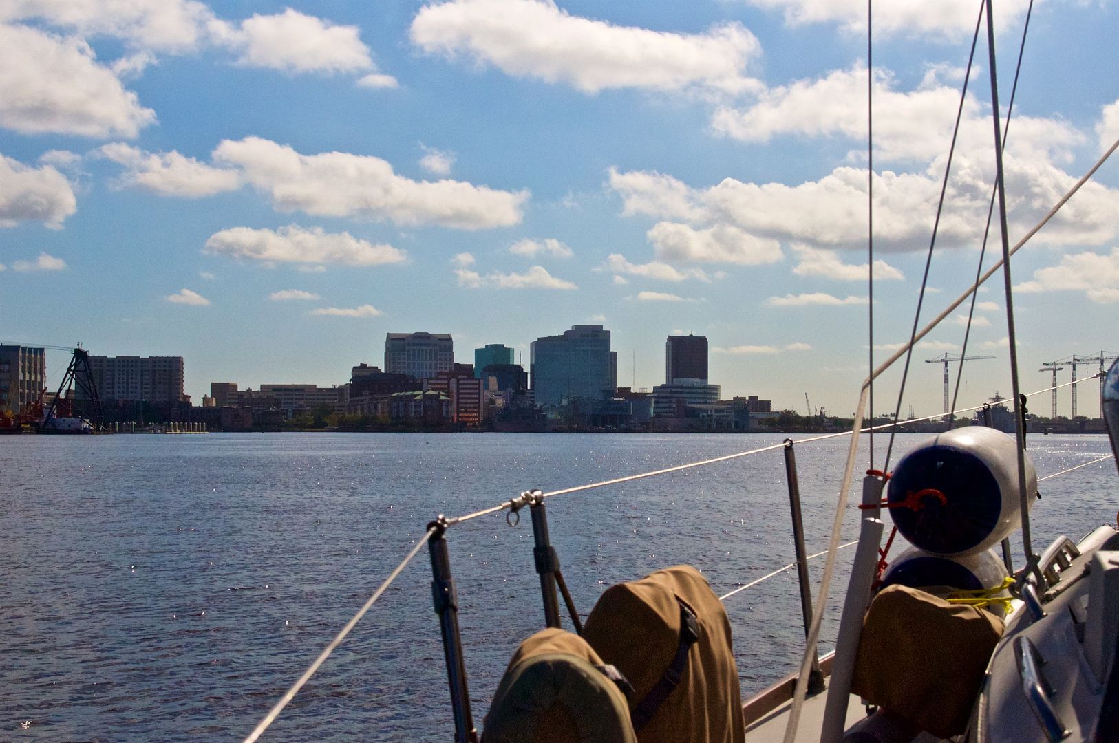 |
| Downtown Norfolk is off our port bow as we motor toward the Elizabeth River. |
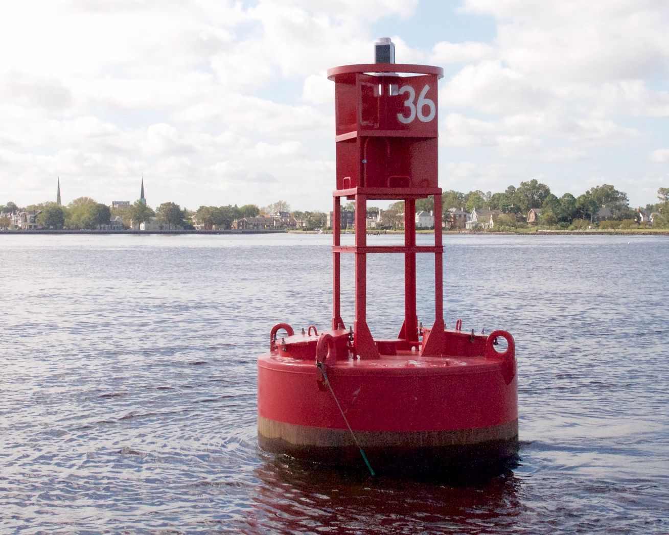 |
| Buoy 36 in Norfolk is the official beginning of the ICW. |
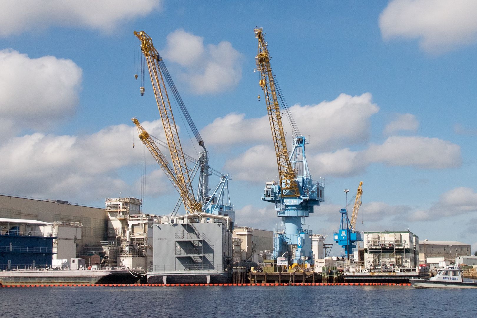 |
| These large colorful cranes are on the grounds of the Norfolk Naval Shipyard. |
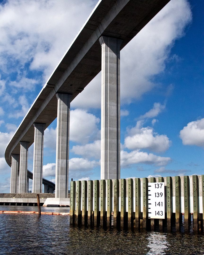 |
| The pictured bridge is the Jordon Highway Bridge with a height clearance of 145 feet. The height clearance at any given tide level is shown on the white numbered board at the lower right of this image. On our first day of the ICW we went through 13 bridges: 5 fixed bridges, 3 lift bridges, 3 swing bridges, and 2 bascule bridges. |
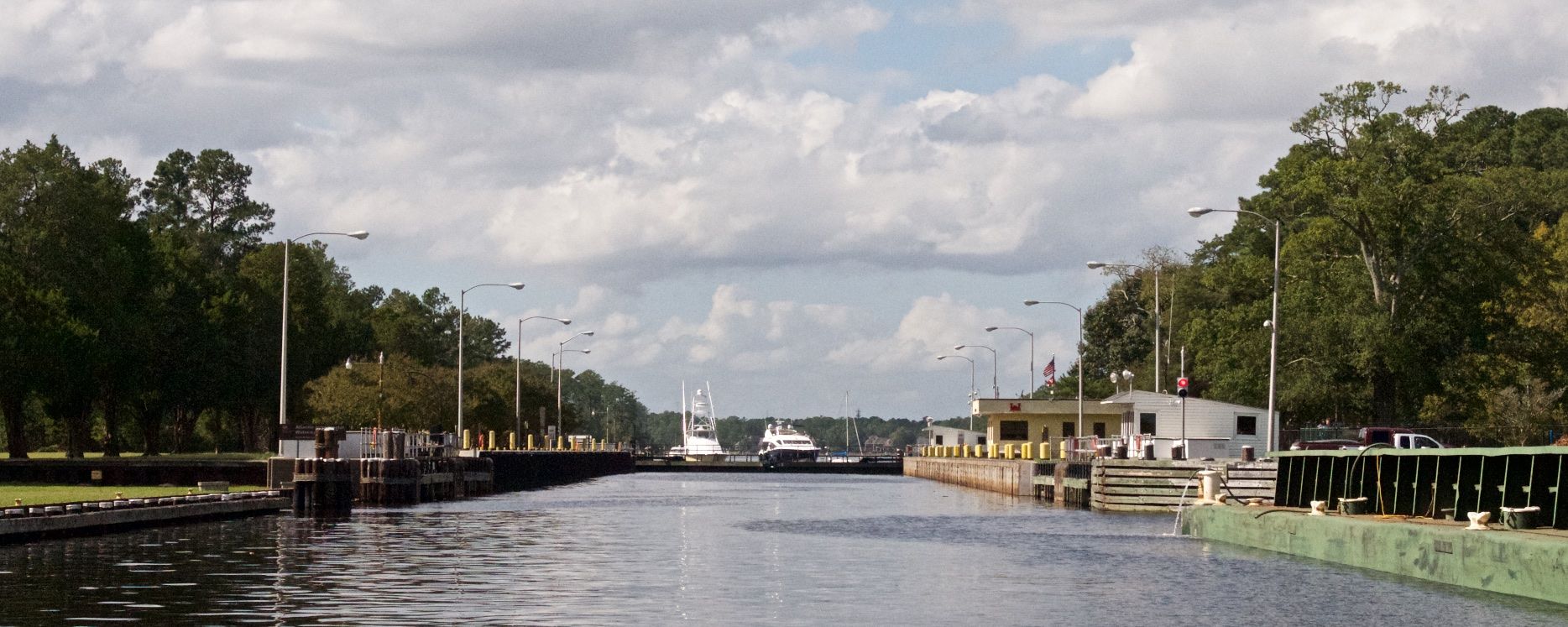 |
| We were the last of six boats out of the Great Bridge Lock. This photo is looking back northward into the lock before it closed for the next batch of boats to come through. The lock raised the water level about 2 feet to meet the water level south of the lock. This is the only lock we will go through on our trip south. |
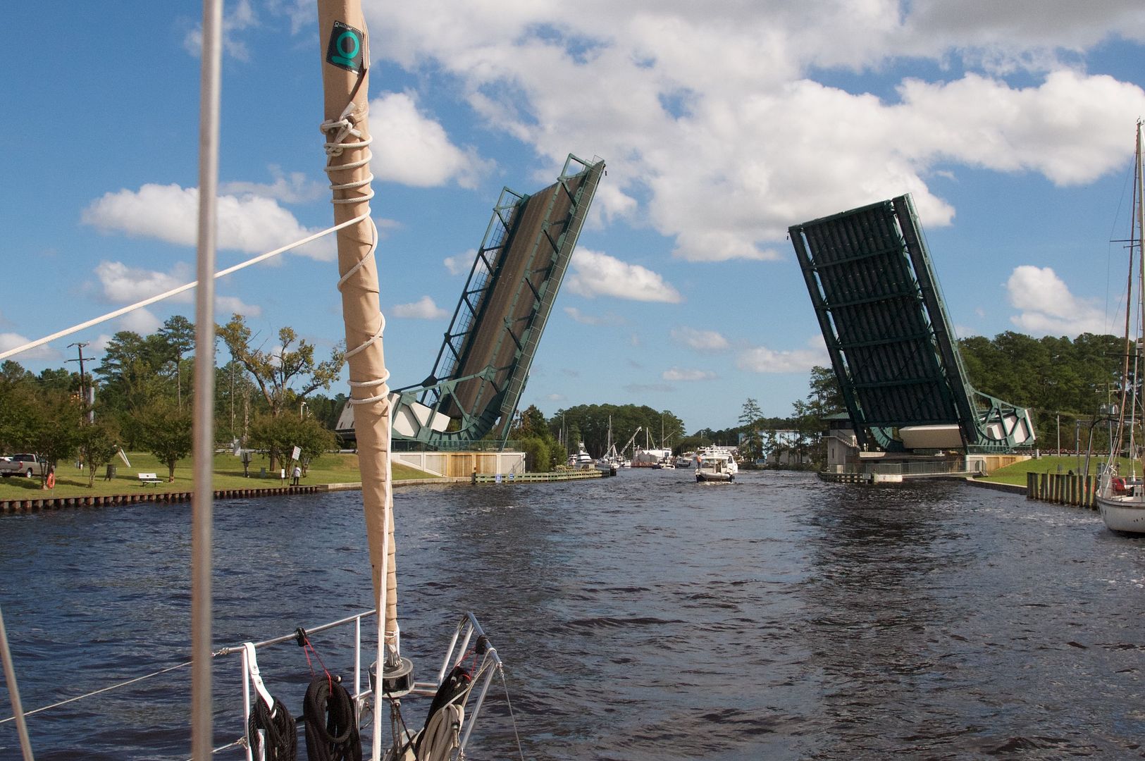 |
| This draw bridge located just below the lock opened for us and the other boats that went through the Great Bridge Lock. |
 |
| This is the 8-mile long Abermarle and Chesapeake Canal that goes through a very remote area in southeastern Virginia. |
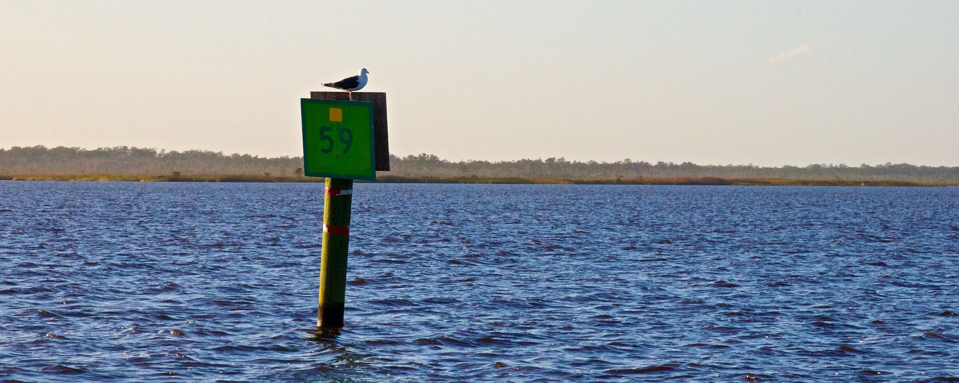 |
| We anchored at 5:30 PM just outside the channel at green day mark #59 in 8 feet of water in the North Landing River. We were exhausted after our first day of the traveling the ICW. We traveled 41 miles in 9 hours, 32 miles of which was in the ICW. |
Summary
When we were in Onancock, we instructed our mail forwarding service to ship our current mail to us at General Delivery in Elizabeth City, NC. At that time we fully expected to take the Dismal Swamp Canal but we later learned it was closed due to flooding. So, we will still be traveling to Elizabeth City but northward from where the two routes intersect at Camden Point. We intend to stay in Elizabeth City for several days.
Thanks for following our blog!
No comments:
Post a Comment