Southport to Butler Island - 2016
--Blogpost written by Bob
Southport to Ocean Isle Beach
We left the Southport Marina at 12:30 PM today so that we reach the two danger zones along the ICW at about mid-tide and rising. We were well prepared to handle both danger zones with GPS waypoints (we programmed into our chart plotter) where there is deep enough water for us to pass, as well as traveling during favorable tide conditions.
The first danger zone was Lockwoods Folly Inlet. The ICW channel is shoaled to less than 3 feet where water from ocean rushes in across the ICW and brings sand with it. (We draw 5 feet.). The two parallel black lines represent the ICW channel and the red areas indicate the severe shoaling. If we followed the ICW channel precisely we would have been aground for sure. There are temporary buoys marking an alternate route around the shoaled area but the GPS waypoints provided a more certain way of staying in deep enough water. I got these waypoints at the daily briefing by Hank Pomerania and I'm sharing them in a form that can be used in Raymarine chart plotters. (The first two digits are degrees, the second two digits is in seconds, and the last three digits are decimal fraction of a second.)
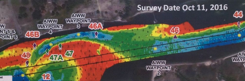 |
| This image is a US Corp of Engineers survey done in mid-October 2016 of the ICW in the area of Lockwoods Folly Inlet. The two parallel black lines represent the established ICW channel. The red areas indicate depths less than 3 feet at MLW. |
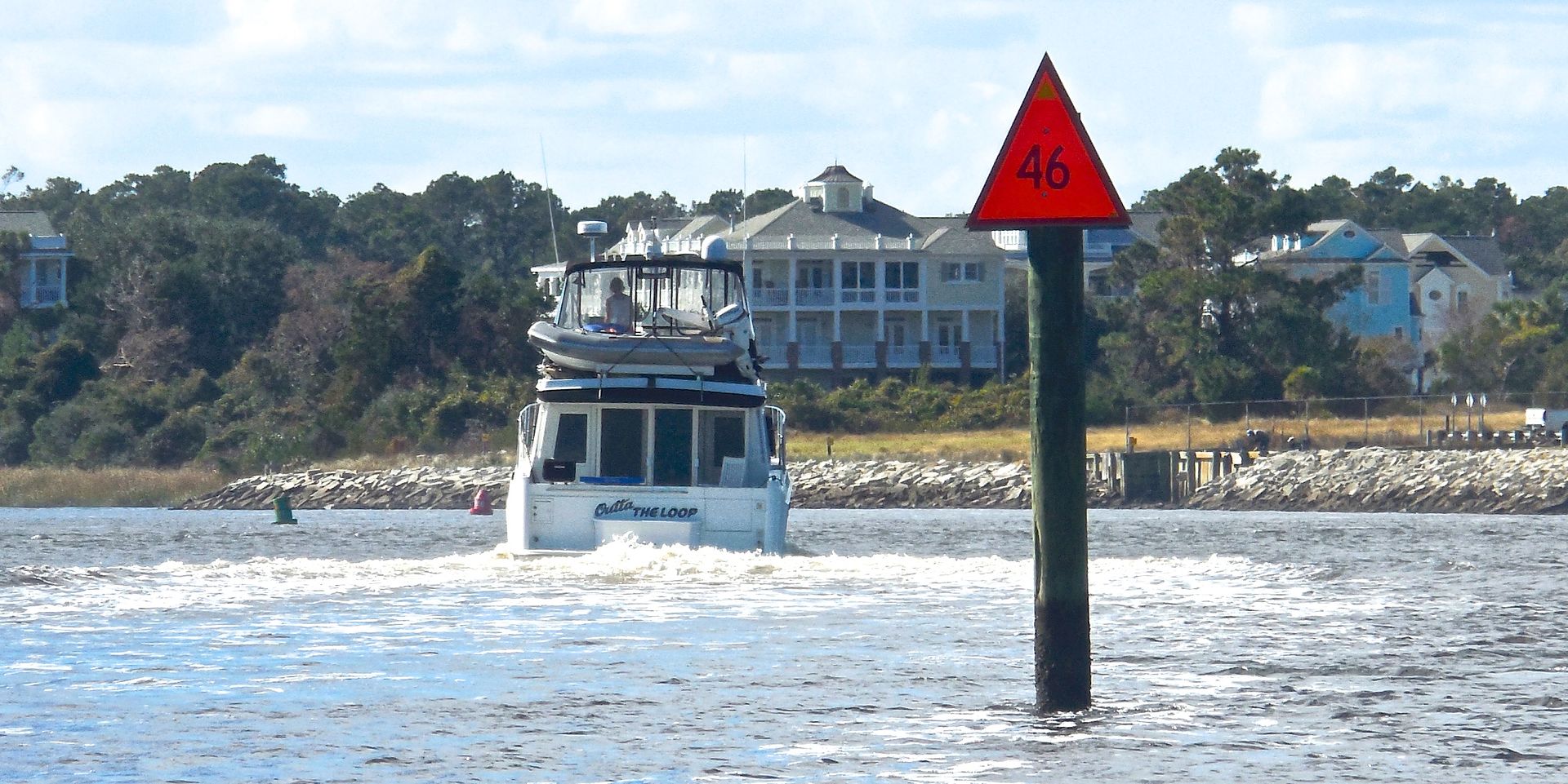 |
| This is a photograph of entering Lockwoods Folly Inlet behind a power boat. You can see a red buoy just too the left of the power boat and a green buoy further to the left. You have to thread the needle between these two buoys, favoring the red side. |
Waypoints for Lockwoods Folly ICW Passage
(Source: Corps of Engineers - mid-October 2016)
Waypoint #1
78 13' .735 W
33 55' .307 N
Waypoint #2
78 13' .942 W
33 55' .281 N
Waypoint #3
78 14' .132 W
33 55' .312 N
Waypoint #4
78 14' .201 W
33 55' .292 N
Waypoint #5
78 14' .272 W
33 55' .227 N
Waypoint #6
78 15' .185 W
33 55' .112 N
The second danger zone of this leg was Shallotte Inlet. I went aground here during my first trip down the ICW 24 years ago--I remember it all too well. Here again, this danger zone involves an inlet from the ocean which crosses the ICW channel, causing shoaling.
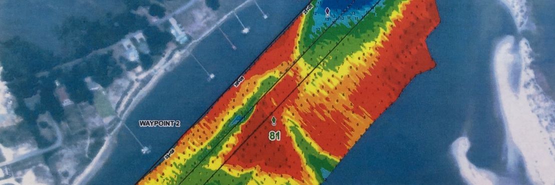 |
| This image is a US Corp of Engineers survey done in mid-October 2016 of the ICW in the area of Shallotte Inlet. The two parallel black lines represent the established ICW channel. The red areas indicate depths less than 3 feet at MLW. |
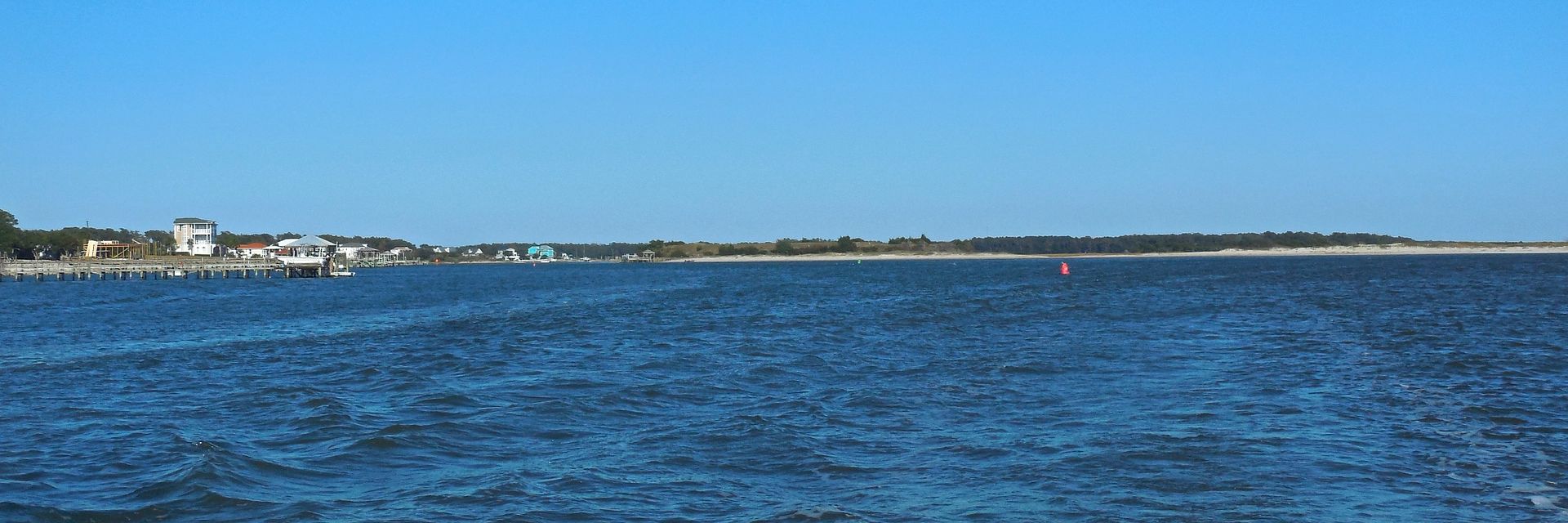 |
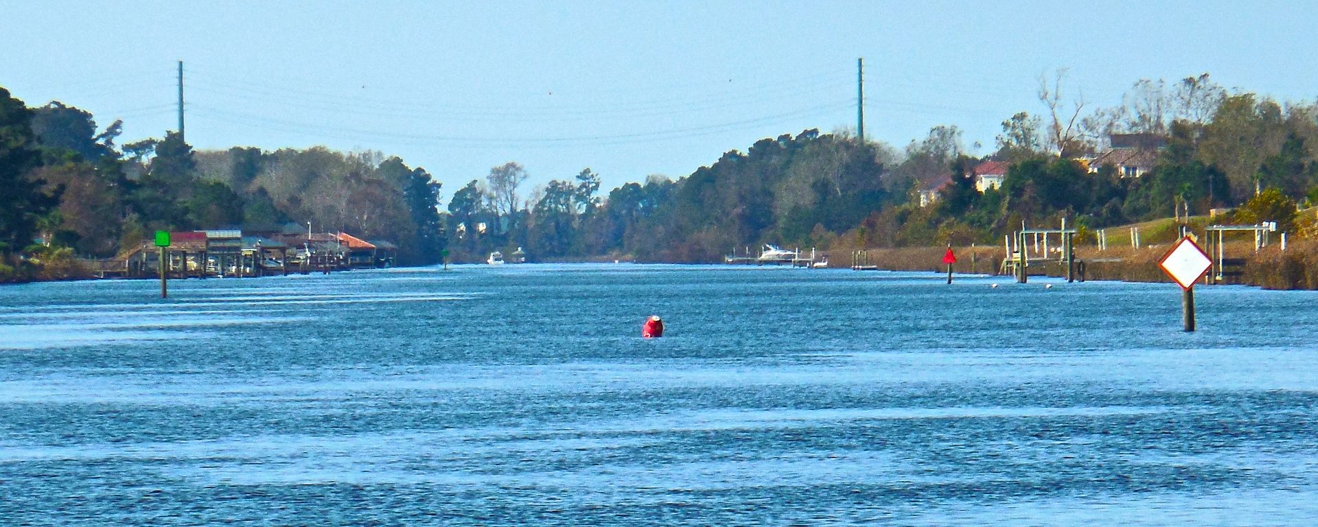
| This is a photograph looking back on Shallotte Inlet after we passed it. In this image the ocean inlet is to the right of the image. It was a lot more difficult entering this area because the sun was in our eyes and we couldn't even tell the color of the buoys. |
Waypoints for Shallotte Inlet ICW Passage
(Source: Corps of Engineers - mid-October 2016)
Waypoint #1
78 22' .638 W
33 54' .751 N
Waypoint #2
78 23' .137 W
33 54' .389 N
Waypoint #3
78 23' .210 W
33 54' .326 N
Waypoint #4
78 23' .700 W
33 54' .239 N
We got a slip at Ocean Isle Marina at MM 335.5 after successfully traveling through two of the three danger zones we will be encountering in NC.
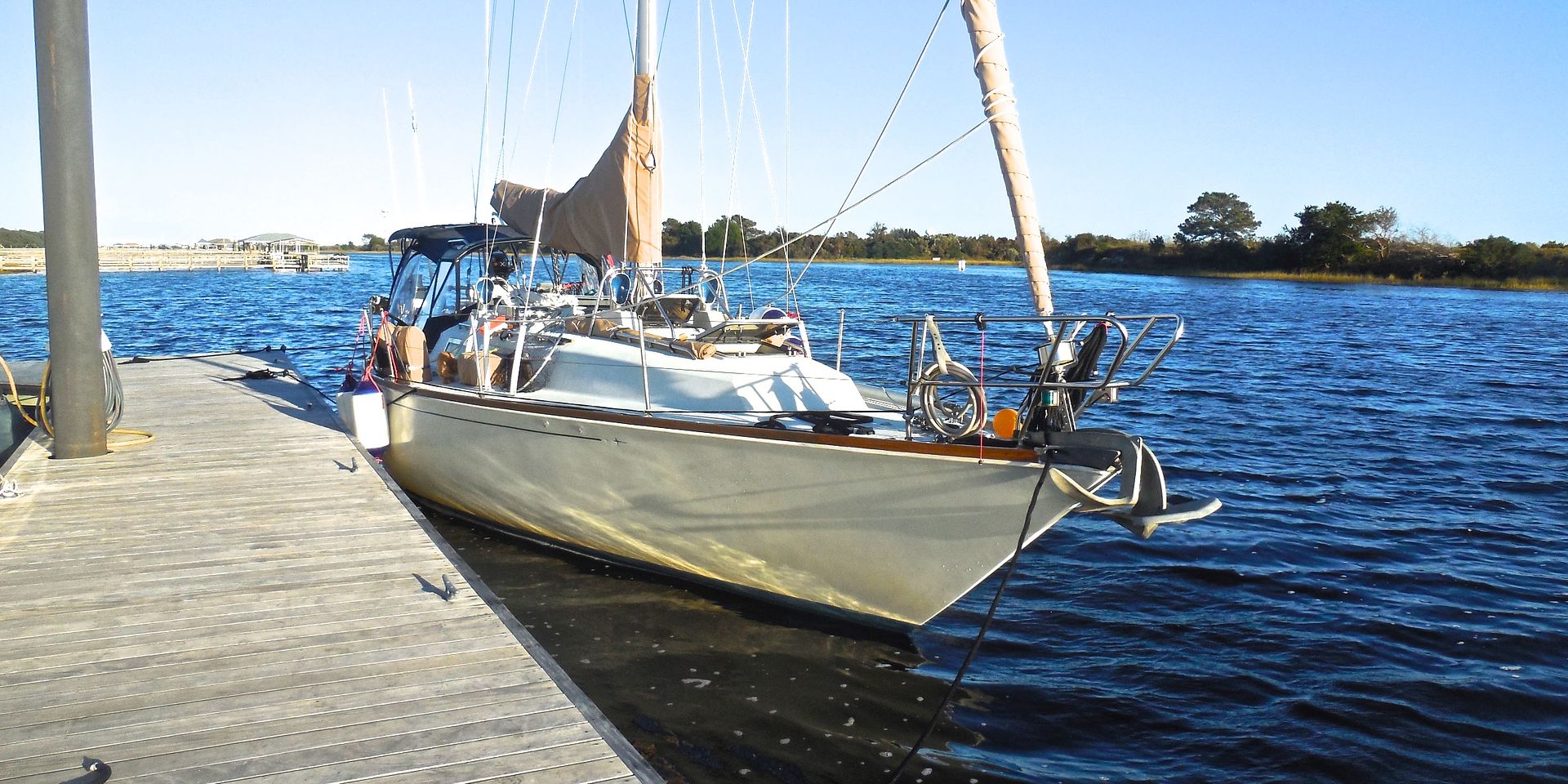 |
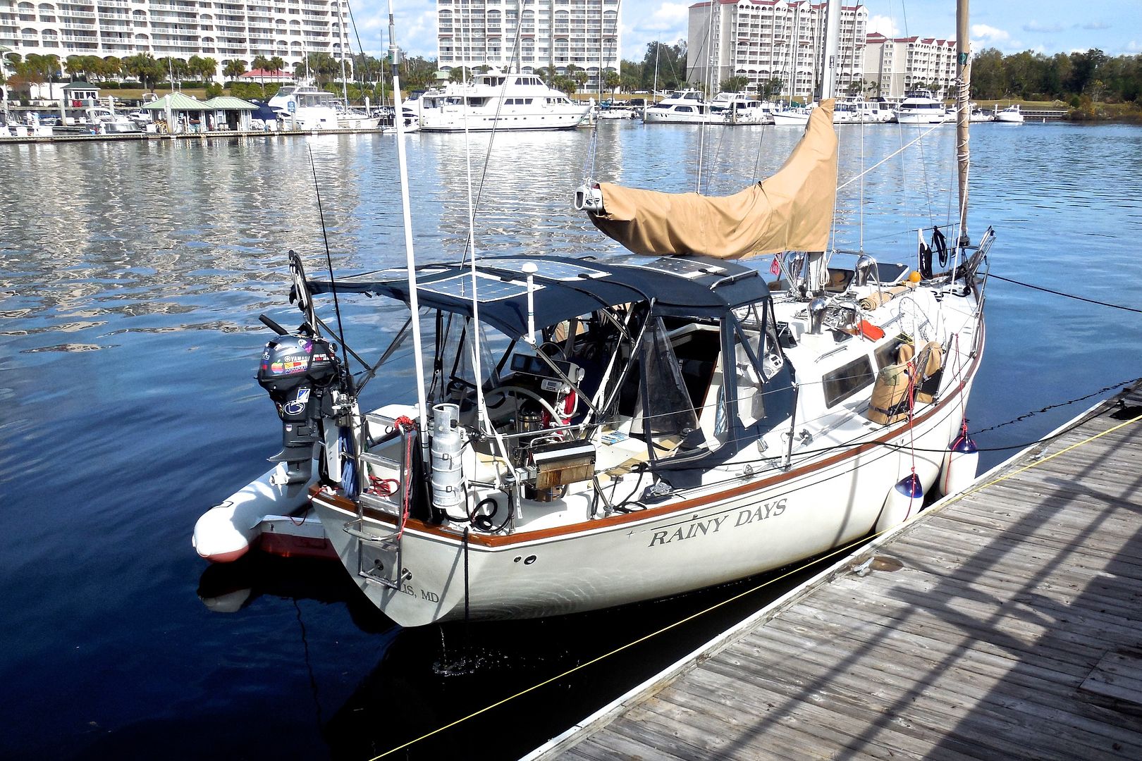
| s/v Rainy Days is tied up to the outer floating dock at Ocean Isle Marina along side the ICW in Ocean Isle Beach NC. We were the only transient boat in the marina and they don't have much dock space for transients |
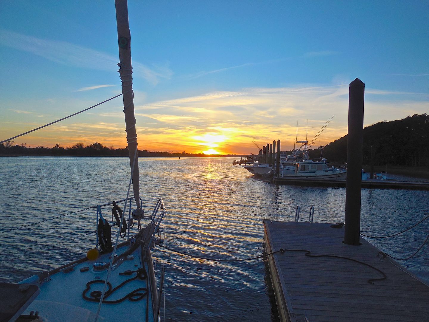 |
| A nice sunset from Ocean Isle Marina! We spent all day traveling west--it's time we start making miles south! |
Ocean Isle Beach to North Myrtle Beach
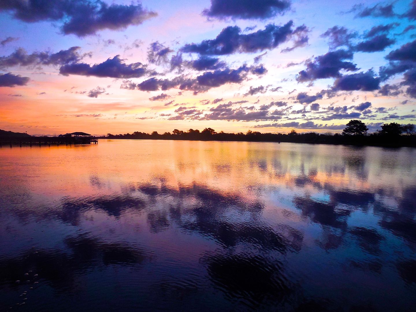 |
| A beautiful sunrise over the ICW from Ocean Isle Marina. |
Early this morning (and other mornings on the ICW at low tide) we could smell sewage. After a little session with my friend, Google, I found out that the (sewage) smell is actually hydrogen sulfide gas (which I knew) that is emitted from the decaying vegetation in the marshes (which I didn't know).
We leisurely left our slip at 9:15 AM, after taking showers (in the marina's fantastic shower facilities) and having breakfast (fried egg and cheese sandwiches) on board.
On the ICW, we traveled past Tubb's Inlet (from the ocean) just before entering South Carolina. Then we traveled past the Little River Inlet (at the NC/SC border), the town of Little River SC, and the village of Nixon's Crossroads SC before arriving at our dock for the night at Barefoot Landing Marina.
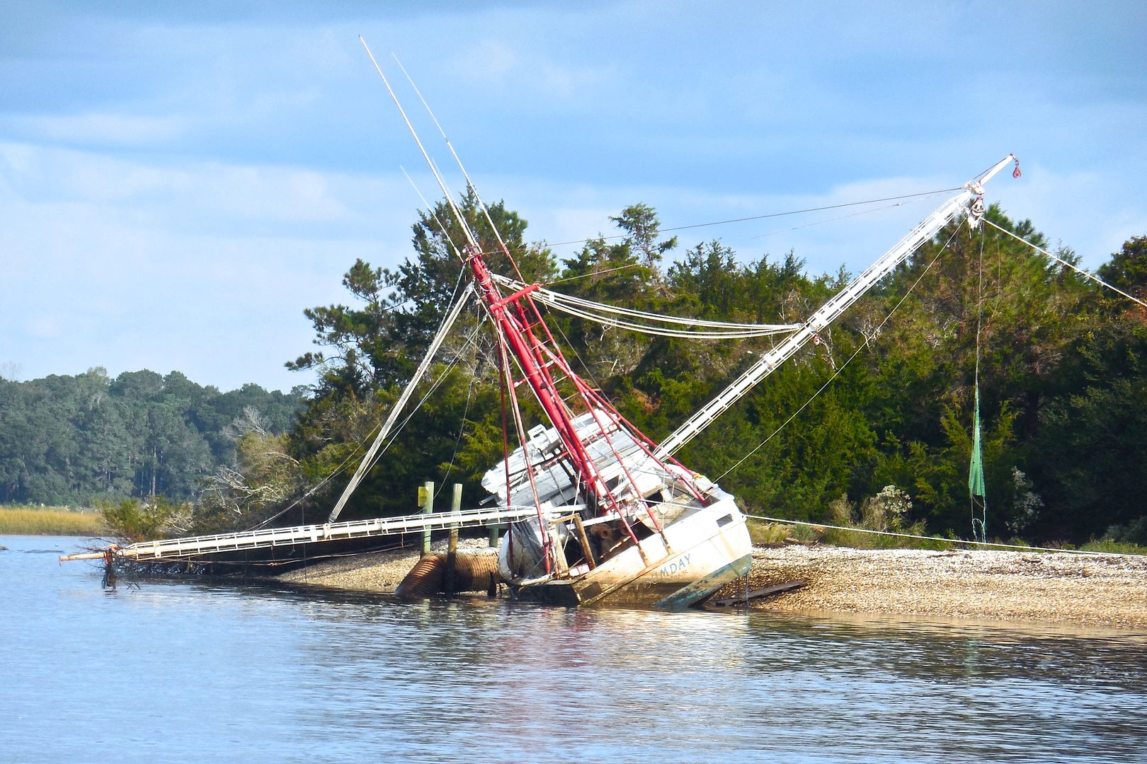 |
| A big shrimp boat washed aground--this may have been from Hurricane Matthew a few weeks ago. This was near Little River Inlet. |
 |
| These colorful homes are just south of the town of Little River SC. The homes along the ICW in South Carolina are much more modest than those along the ICW in North Carolina. |
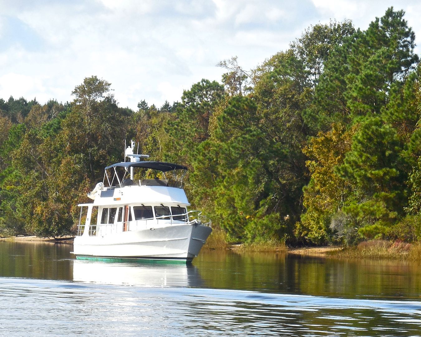 |
| This trawler was aground outside the ICW channel near MM 347. It might have been on a rock ledge. It was waiting for the tide to rise. |
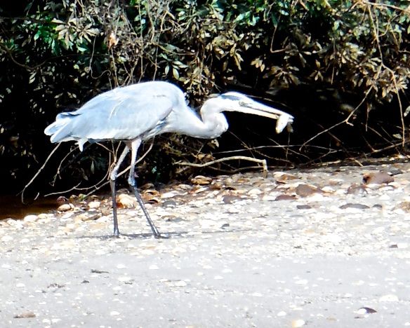 |
| This great blue heron caught a fish as we were coming by on the ICW. |
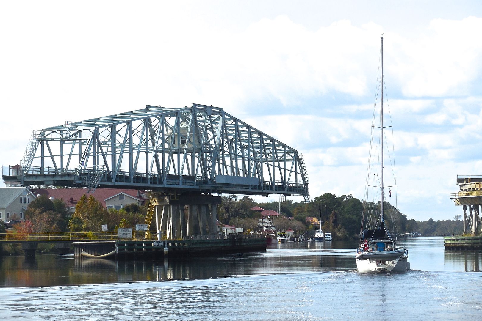 |
| The Barefoot Landing Swing Bridge shown above has a 31 foot vertical clearance without opening. This bridge had to open for us and another sailboat from Montreal. Our mast height is 51' 3" above the water plus our masthead antenna, maybe another 3 feet. |
We also entered the third danger zone south of Southport NC--the "rock pile." When the ICW was being created the Corp of Engineers had to cut through rock in this area. Because of the difficulty involved, they cut just the needed channel width--the rock ledges at the sides remain just outside the channel, hence the name "rock pile." The "rock pile" is 18 miles long--from MM 347 to MM 365. Some boaters we talked with on the way down the ICW prefer to travel through this area at low tide because you can actually see the rock ledges. We went through 2 miles of the 'rock pile" today. (I don't remember this hazard from my trips up and down the ICW 24 years ago--so, it must have been uneventful.)
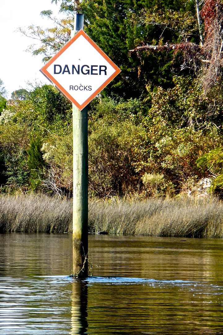 |
| The "rock pile" is not continuous--it is intermittent through 18 miles of the ICW. Pictured, is one of the warning signs about the rocks. |
We reached our reserved slip at Barefoot Landing Marina (MM 349) at 1:00 PM. We bucked a strong tidal current almost the entire morning. We traveled only 18 miles today. Tomorrow, we face 16 more miles of the "rock pile."
I am glad we took showers this morning at Ocean Isle Marina because Barefoot Landing Marina is just a long dock along the ICW--they don't have showers.
We ran out of propane in one of our two 10-lb tanks tonight--it lasted about 1 month. We will refill the propane tank next week.
 |
| s/v Rainy Days is safely tied up to the dock at Barefoot Landing Marina in North Myrtle Beach SC. |
When we arrived here at Barefoot Landing Marina, the dockmaster told us about a little (3-foot long) 3-legged alligator that liked to lay in the sun on the dock. He hasn't been seen since Hurricane Matthew came through but we made sure our cats stayed on board just in case.
We ran out of propane in one of our two 10-lb tanks tonight--it lasted about 1 month. We will refill the propane tank next week.
North Myrtle Beach to Butler Island
We began our day on the water before 9:00 AM. We left Barefoot Landing Marina and motored across the ICW to the fuel dock at Barefoot Marina to fill up our fuel tanks. (Incidentally, the auxiliary 19-gallon fuel tank I added in preparation for this trip takes a lot of pressure off me with regard to closely watching our fuel level and worrying about where our next fuel stop might be.) We found out that Barefoot Marina has a lot more amenities and charges the same price per foot ($1.50 per foot) as Barefoot Landing Marina.
 |
| Barefoot Marina is in the foreground of this photograph. We stayed at Barefoot Landing Marina across the ICW from Barefoot Marina. Barefoot Marina is a much better marina with showers, a hot tub, and a pool for the same rate we paid at Barefoot Landing Marina. |
 |
| This is a view ahead of us as we approach MM 360.5 where severe shoaling has been reported. A temporary buoy #22A (shown in the middle ofthis image) has been placed to warn boaters of the shoal, The shoal is to the north, as well as to the east of the buoy (directly in front of us). |
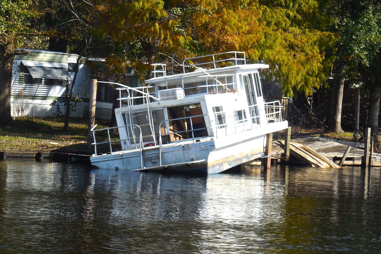 |
| This houseboat is hard aground and propped up on the top of a piling. This probably occurred as a result of Hurricane Matthew |
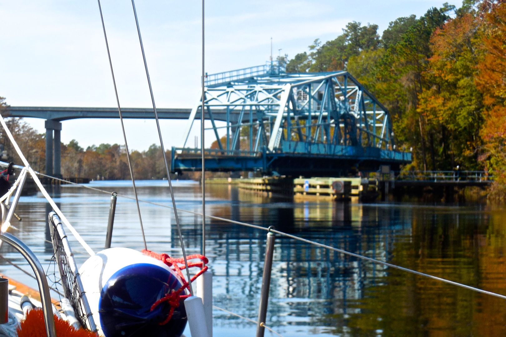 |
| The Socastee Swing Bridge was the only bridge that had to open for us today. This bridge was shutdown for a couple of weeks due to damage from Hurricane Matthew. We went under six fixed bridges today. |
 |
| We anchored at 3:30 PM in the Waccamaw River just northwest of Butler Island. We were the first boat to anchor here today but were later joined by two other sailboats and three trawlers. This is a very remote place--I haven't even heard an airplane fly over since we have been here. |
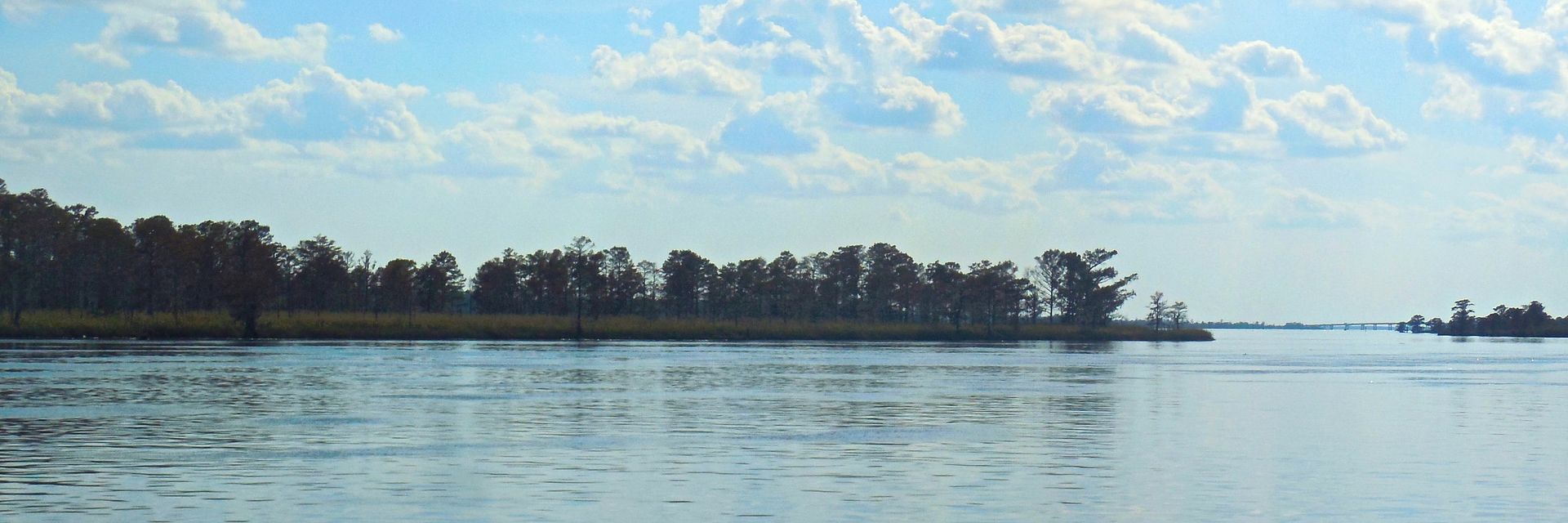 |
| This photograph shows the southwest end of Butler Island. It is uninhabited. The ICW is on the other side of the island from our anchorage. |
Summary
We are glad to be through all three danger zones and very thankful for the navigation briefing we had at Southport Marina!
Our days are becoming more in sync with the sun. We rise out of bed shortly before the sun rises and turn in for the night shortly after sunset. It seems so natural.
We have made some further refinements in our trip planning technique. We now only have one plan (instead of a short-term plan and a longer-term plan) for 7 to 10 days into the future. The earliest couple days of the plan have a lot more detail than the later days in the plan. I keep this plan on my iPad and make adjustments every day.
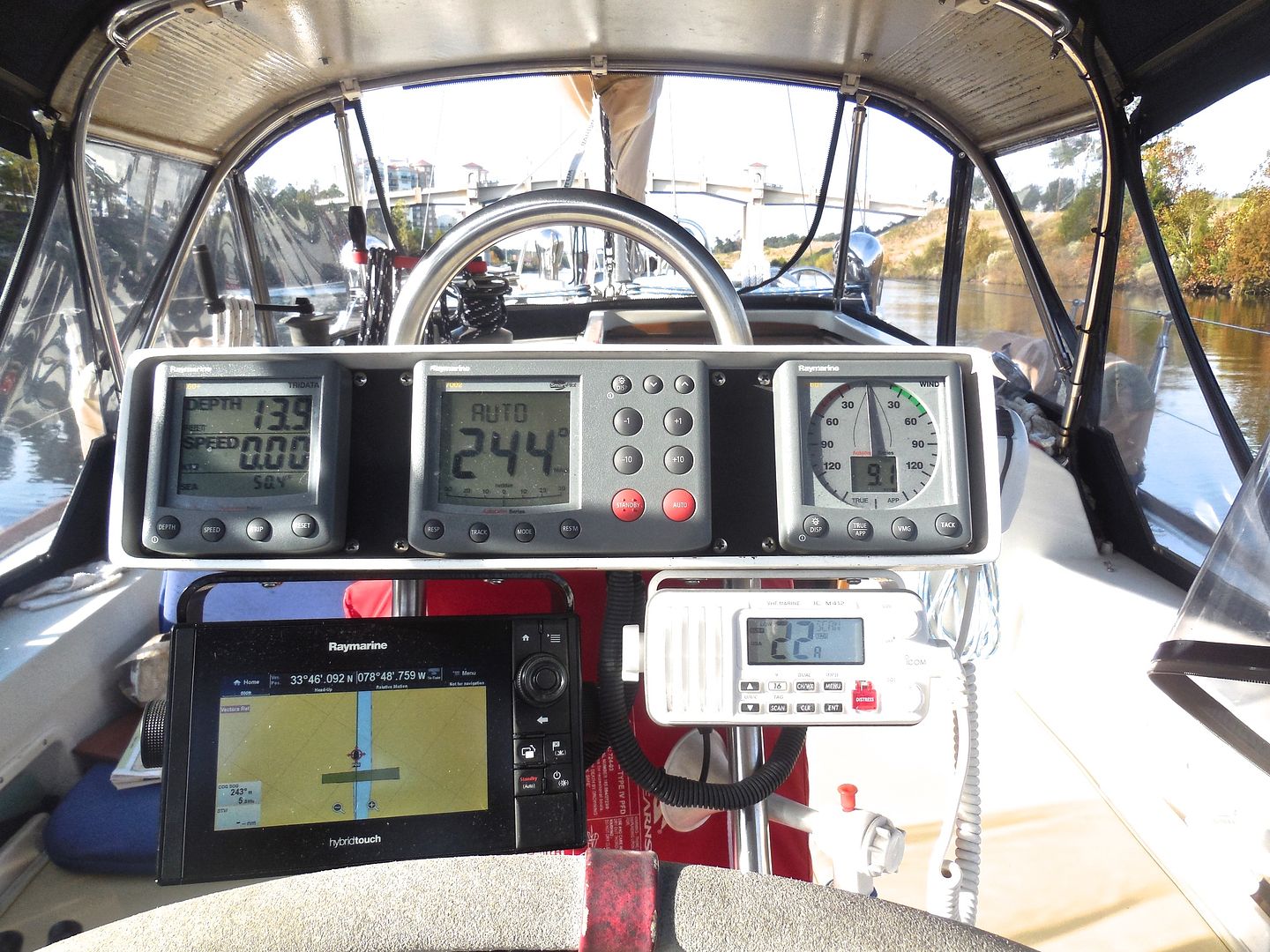 |
| I have have had cartography errors in my brand new charts on my brand new (Raymarine) chart plotter. One example today was when we were 500 to 700 feet away from a fixed bridge and our chart plotter showed we already passed the bridge--you can see this error in the above photograph. We are not the only one experiencing these types of errors. |
Our weather has been consistently sunny and in the high 70's or low 80's during the day--almost perfect! We've been seeing more palm trees as we get further south and hearing more song birds. We've seen a number of dolphins near the inlets from the ocean.
Thanks for following our blog!
No comments:
Post a Comment